Wales is a country that forms part of the United Kingdom of Great Britain and Northern Ireland (known as the UK). It is situated in the northwestern part of the continent of Europe.
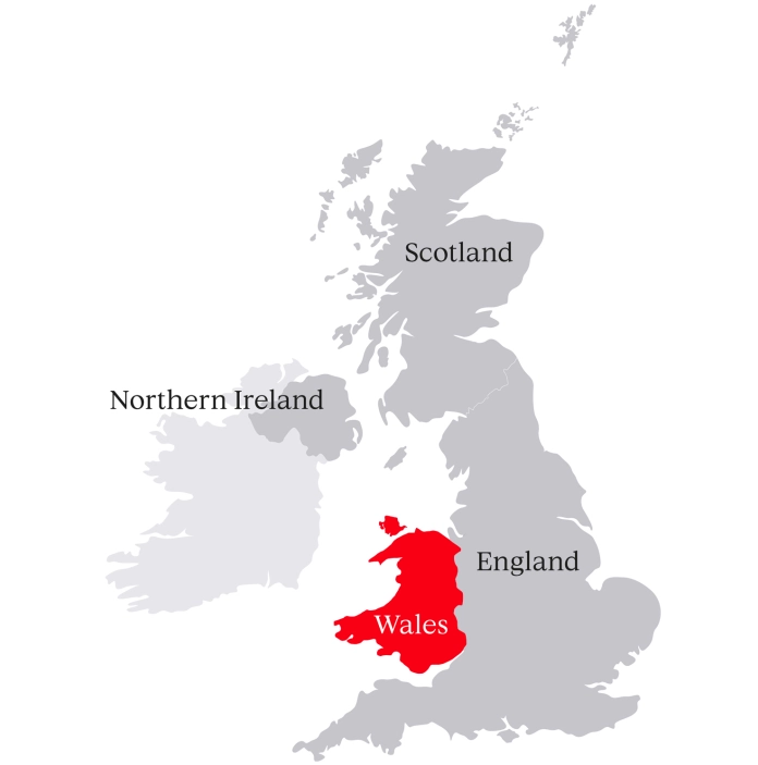
Where is Wales within the UK?
Wales is one of the four countries that make up the United Kingdom of Great Britain and Northern Ireland.
We are located on an island called Great Britain, which we share with Scotland and England.
Wales has its own devolved government and its own parliament (the Senedd), although some political decisions are still made by the UK Government, like matters of crime and policing, defence, and foreign affairs. People in Wales travel on British passports, like all citizens who live within the United Kingdom of Great Britain and Northern Ireland.
Find out more about how Wales is governed.
Wales as a country - key facts
Official languages: Cymraeg (Welsh) and English
Population: 3.1 million people (4.6% of the UK population)
Size: 8,023 sq miles (20,779 sq km)
Time zone: GMT
Currency: £ Pound Sterling
National Day: St David's Day (1 March)
National Anthem: Hen Wlad Fy Nhadau (Land of my Fathers)
Highest mountain: Yr Wyddfa (Snowdon), 1,085m (3,560ft)
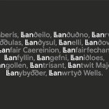
Longest place name:
Llanfairpwllgwyngyllgogerychwyrndrobwllllantysiliogogogoch (known locally as Llanfair PG)
Climate: The average temperature is 20°C (68°F) in summer and 6°C (43°F) in winter
National Parks: Three - Eryri (Snowdonia), Bannau Brycheiniog (Brecon Beacons), Pembrokeshire Coast
Areas of Outstanding National Beauty: Five (Anglesey, Gower, Wye Valley, Llŷn Peninsula and the Clwydian Range and Dee Valley)
Sites of special scientific interest (SSSI): There are over 1,000 SSSIs in Wales, covering 12% of the country. They form the basis for our network of protected nature conservation areas
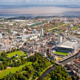
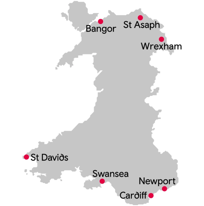
Cities and regions in Wales
There are seven cities in Wales: Bangor, Cardiff (our capital), Newport, St Davids, St Asaph, Swansea and Wrexham. St Davids is the UK's smallest city by population, and has been a popular pilgrimage destination for hundreds of years. Wrexham is the country's newest city, having been awarded city status as part of the Queen's Platinum Jubilee celebrations in 2022.
Wales is made up of 22 local authority areas, each with its own elected council, which makes decisions on local issues like housing, town planning and schools.
These local authority areas are grouped into four regions: North Wales, West Wales, Mid Wales, and South Wales - each with its own distinct geography and landscape.
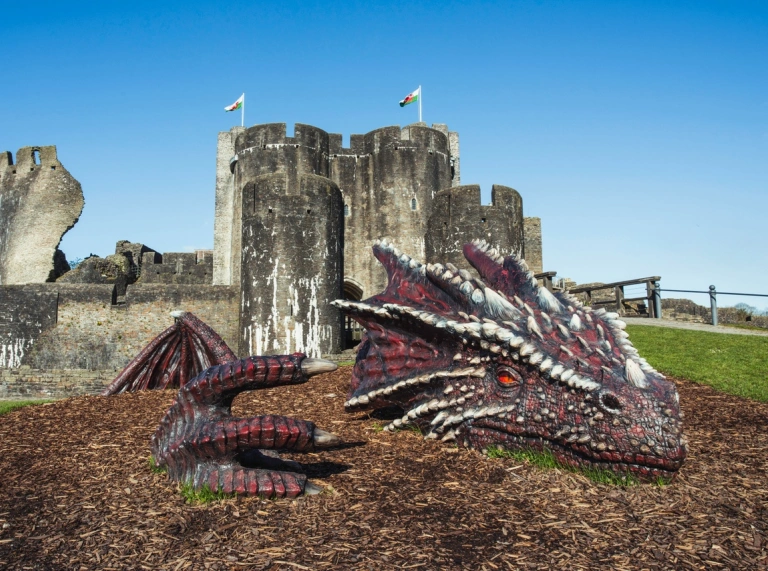
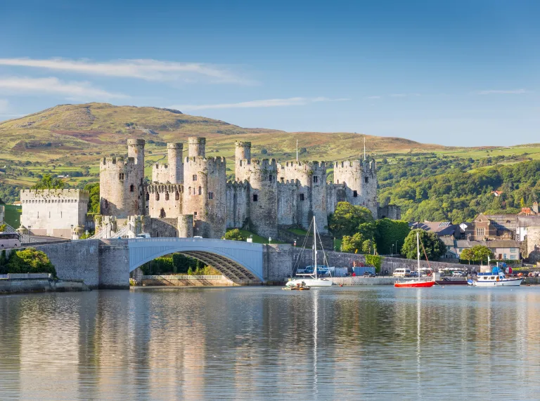
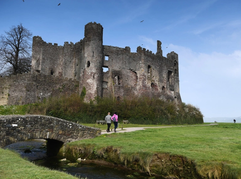
Is Wales really full of castles?
Yes. Well, sort of. There are more than 600 castles in Wales. Some have been lived in continuously for a thousand years, some are romantic ruins, and others have disappeared, leaving almost no trace. Many are native Welsh castles, built by Welsh royal dynasties – often in very beautiful places.
Find out more about Welsh castles.
Is Wales also full of dragons?
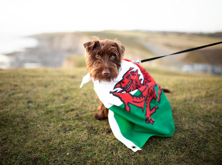
Well, there is one on our flag. But beyond that, we couldn't possibly say.